A comprehensive solution for managing land registry and cadastre data with a user-friendly dashboard system

Industry
Law & Administration
Location
Croatia, EU
Timeline
10 months
A comprehensive solution for managing land registry and cadastre data, with a user-friendly dashboard system for visually tracking, analyzing, and monitoring properties within local administrative units.
The challenge
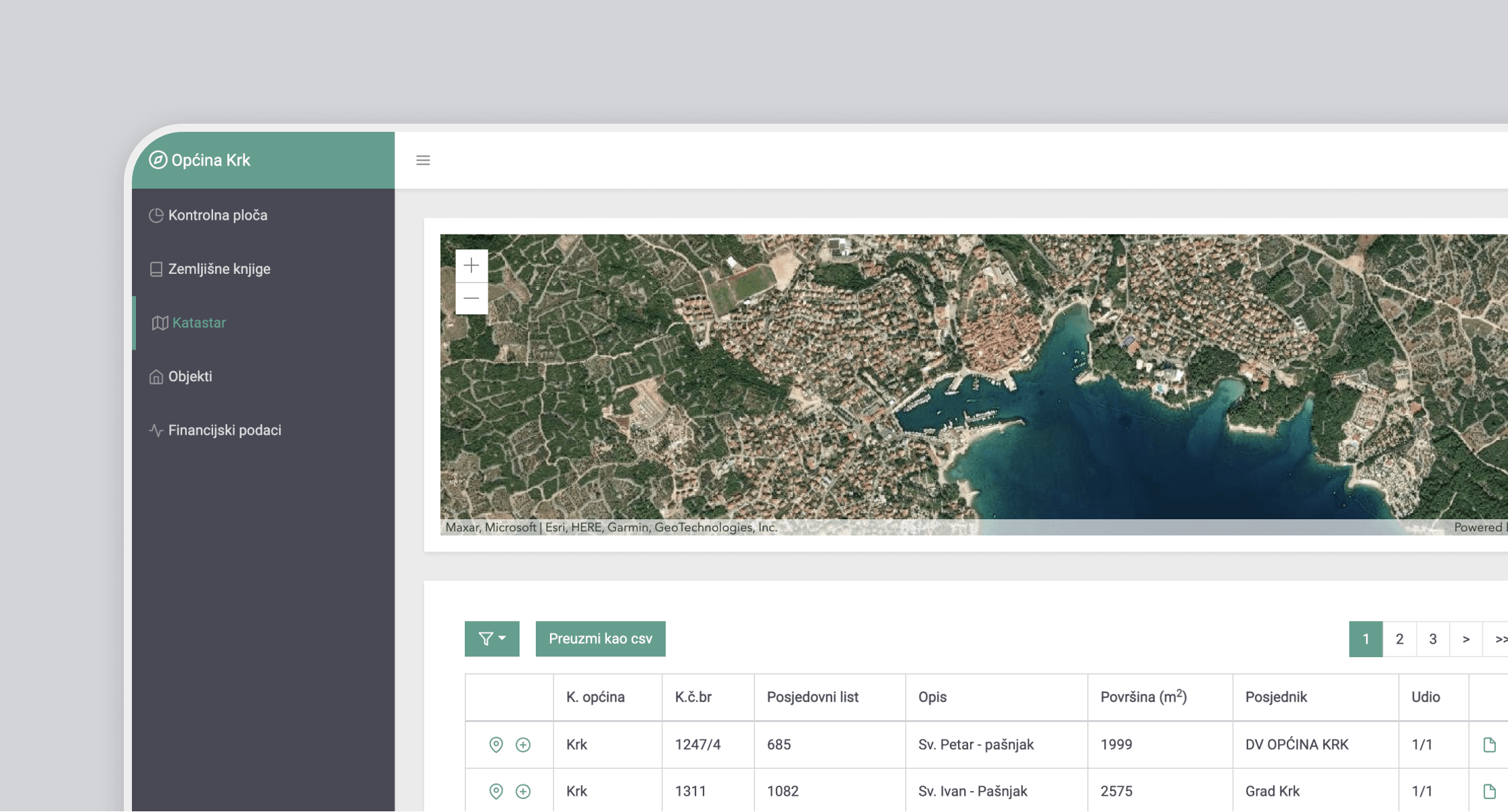
Development of a unified register that integrates land registry and cadastre data for local administrative units, providing a graphical user interface for visual data tracking and monitoring of land registers, real properties, land ownership, and real rights, with linked cadastre data. GIS implementation enables interactive maps to locate cadastre data and display parcel datasets to track the boundaries and subdivisions of the land. The aim is to create a centralized and comprehensive database that effectively manages and maintains cadastre and land registry information in a unified system.
The solution
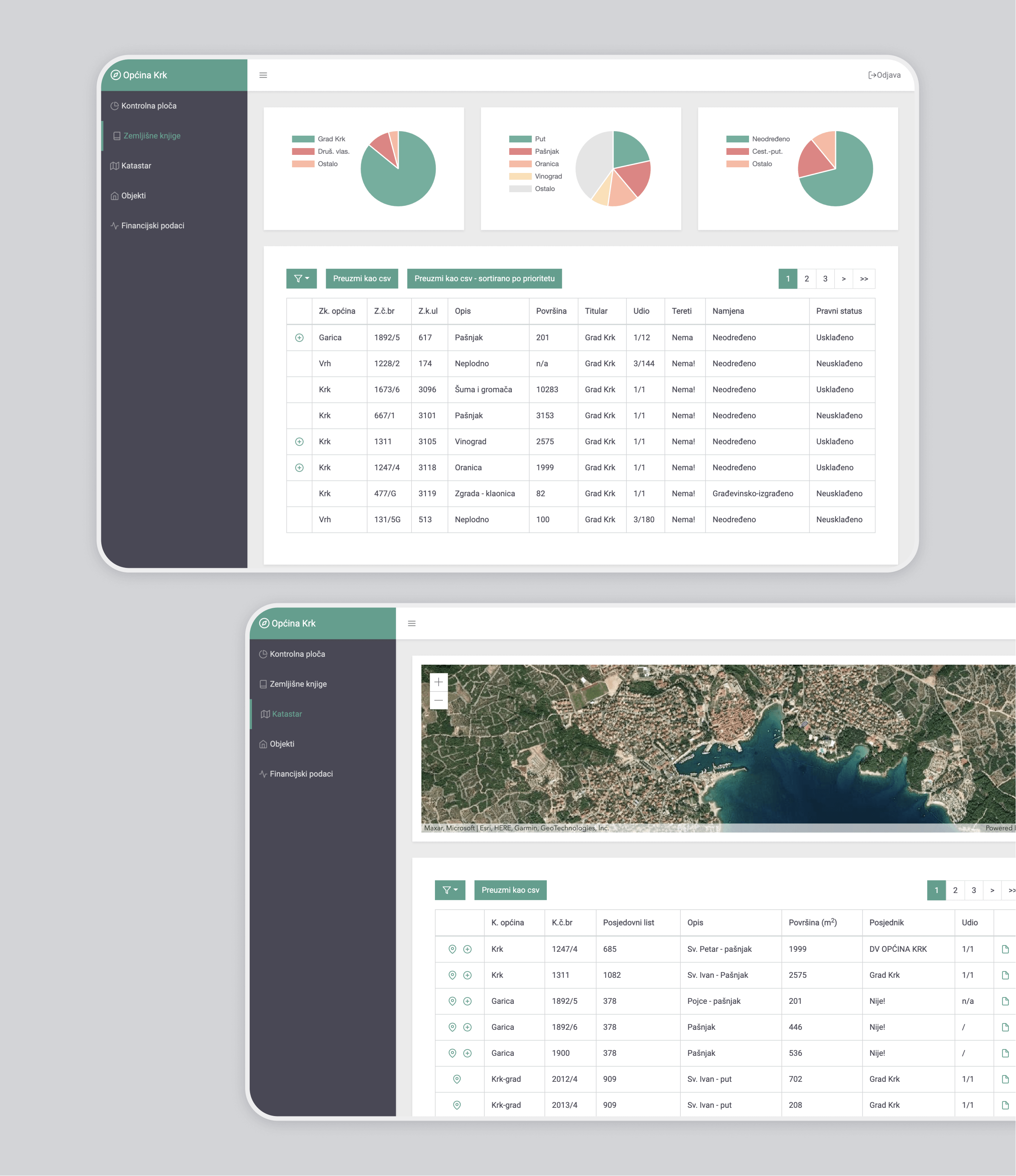
The application offers customizable features tailored to each local administrative unit, allowing tracking and monitoring of specific land properties, including financial information and real properties, through an interactive user dashboard. The dashboard presents key metrics such as surface area, property values, types, and owners in visually appealing charts for quick analysis and data tracking. Users can apply filters to access additional parcel and ownership details, view real property information, and export data in CSV format.

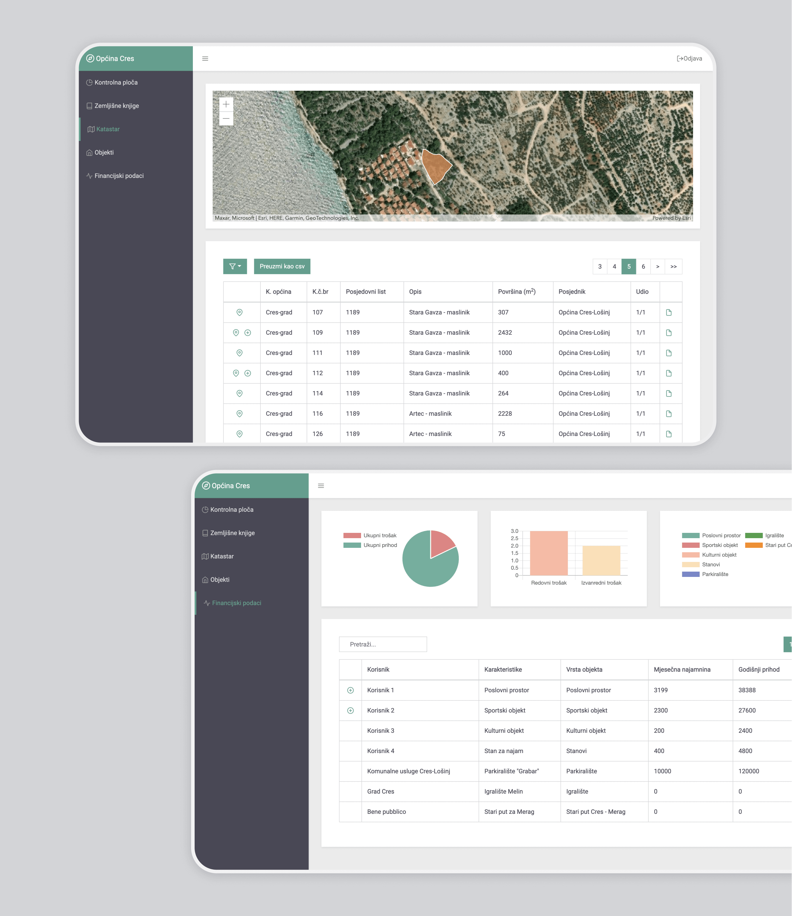
The interactive user dashboard enables tracking and monitoring of land registers, real properties, land ownership, and related cadastre data. The main metrics like surface, real property values, property types, and property owners are visually displayed with numerous charts for quick analysis and data tracking. One of the primary challenges in this project was the implementation of cadastral GIS data and the visualization of parcel datasets on interactive maps. The key objective was to enable users to easily locate and view the relevant parcel on the map, facilitating efficient tracking of land boundaries and subdivisions with just a single click. Users also have the ability to filter and see additional parcel and ownership information with real property details and export data in CSV format.

Additionally, the software accommodates the inclusion of various objects within cadastral boundaries, such as houses, public institutions, and other structures. It offers functionality to monitor the value and status of these objects over time. Users can track property values, changes in ownership, occupancy status, maintenance records, and other relevant information to ensure effective management and decision-making. This comprehensive monitoring capability provides valuable insights into the overall state and valuation of cadastral objects, enabling better asset management and resource allocation within local administrative units.

